Cultural Resources
People have been living in this area with hunting, fishing, farming and forestry playing a central role in their lives. The story of agriculture, resource use and land stewardship is preserved in archaeological sites, buildings, landscapes, written accounts, photographs, governmental records, and in the thoughts and ideas people remember and pass along by word of mouth. Land use planning and land use decisions will directly impact archaeological sites, historic buildings and cemeteries.
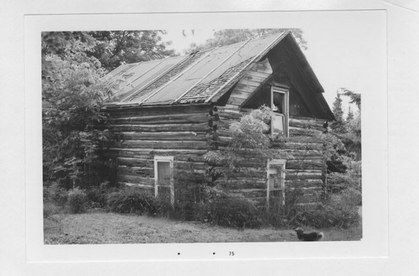
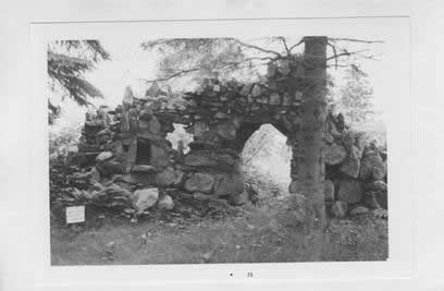
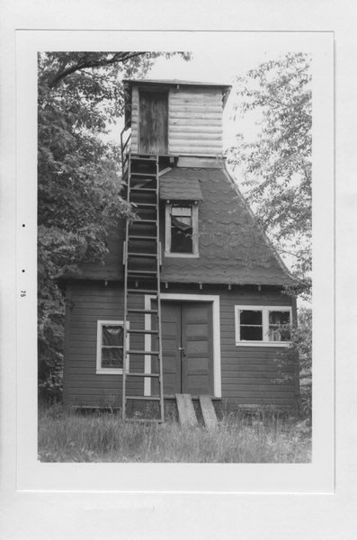
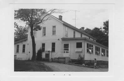
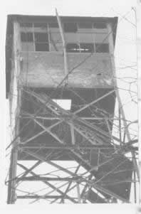
Archaeological sites include places where people lived, where they worked and where they worshiped. These sites were made by the people who lived at the village, farm, or logging camp located just down the road. Archaeological sites occur figuratively and literally under our feet. Archaeology is well suited for providing important information about the lives of people who are not well represented in the written record. Archaeological sites are non-renewable resources and once a site is destroyed, either by natural or human-related activities, it cannot be reclaimed. Cultural sites and features are important community resources documenting a community’s rich history. Countywide, there are over 100 culturally or historically significant landmarks, buildings or areas. There are countless other cultural and historical resources that remained undocumented, such as past fur trader villages or Native American settlements along rivers and lakes. Table 5.8-Cultural Resources and Wild Rice Areas represent sites contained in the Wisconsin Architectural and Heritage Inventory (AHI) for the Town of Round Lake.
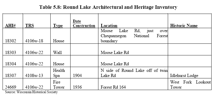
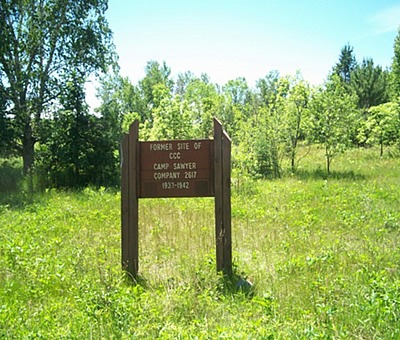
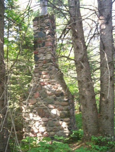
While not listed on the AHI in Table 5.8, the Town of Round Lake has identified other architectural and heritage sites. The icehouse located at the old Kateri Resort on Lower Twin Lake supplied many residents with ice cut from the lake for their refrigeration in the 1940’s. A foundation remains on the property. Three very significant heritage sites of cultural and historical value are located with in the Town of Round Lake. The Battle of the Horsefly historical marker is near the Moose Lake Bridge over the West Fork of the Chippewa River. The marker denotes the site of a battle between the Chippewa (Ojibwe/Anishinabe) and the Dakota Sioux (Mdewakotan) in 1795. The burial site of the Dakota and Ojibwe warriors involved in the Battle of the Horsefly has been identified and marked by the Lac Courte Oreilles people as Spirit Rock. The CCC camp marked at the intersection of Moose Lake Rd (#164) and Fire Lane #174 has remnants of fireplaces/chimneys said to be from officer housing. Refer to Appendix A in the Town of Round Lake Comprehensive Plan for detailed information on these three significant cultural heritages.

